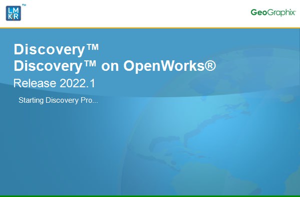
× GVERSE GeoGraphix 2022.1 (x64) Close
GVERSE GeoGraphix 2022.1 (x64) | 1.9 GB
This is a one-half day, beginner level online training course, designed to cover loading of 2D and 3D seismic data from .segy files, creating and configuring a geophysical interpretation project. Topics include attaching loaded seismic files to a newly created geophysical interpretation project, defining seismic datums and replacement velocities, displaying land and well data, 2D seismic line balancing, defining seismic horizons, and customizing color palettes.
Duration: Half-day
This is a one-half day, beginner level online training course, designed to cover project creation and configuration, loading, and managing land, cultural and well data, including: headers, formations tops, survey data, production data and analysis. Well data is queried to create well list filters along with combining filters in Set Operation.
Duration: Half-day
This is a one-half day, beginner level online training course, designed to cover importing vector and raster log data, creating log presentation templates, defining, and configuring cross sections. Picking formation tops and fault picks are demonstrated using the picking tool, correlation logs, and type logs. Final configured cross sections are saved as graphic file for use in other applications.
Creating Maps to understand your Project Area
Duration: Half-day
This is a one-half day, beginner level online training course, designed to cover basic project configuration, creating, and displaying land, cultural and well data in a map view, petrophysical data and interpretation in log view.
Setting up a Geological Interpretation in GVERSE Geomodeling
Duration: Half-day
This is a one-half day, beginner level online training course, designed to cover configuring a geomodeling interpretation, creating and editing cross sections, picking tops, faults, and attribute intervals, as well as 3D visualization of the developing surface model.
Learn to create contour surfaces and calculate Volumetrics in GeoAtlas
This is a one-half day, beginner level online training course, designed to cover basic gridded contour map creation from multiple sources including Geomodeling surfaces, well data, map data, XYZ spreadsheet data and combined sources. Grid operations, contour editing and contour to grid operation are also covered in this course. Areas of Interests are defined, and their use explained. In addition, volumetrics are calculated on created grids and volumetric polygons.
Sytem Requirements:
OS:Windows 7 / 10 / 11
Memory:8 GB RAM Minimum/16 GB Note: 32 GB RAM recommended for GVERSE Geophysics.
CPU:Core i5 Minimum/Core i7 Quad-core and
GPU:2 GB VRAM Minimum/4GB VRAM Any DirectX 11.1 capable card comparable with Nvidia® GeForce GTX 1060 with 6GB VRAM. DirectX is not shipped with GeoGraphix 2022.1. You must download and install it
separately
Home Page - https://gverse.com
Visit All My News
Download File Size:1.79 GB